Ozarks National Scenic Riverways Adventures
Ozarks National Scenic Riverways protects the Current and Jacks Fork rivers in the Missouri Ozarks, offering pristine waterways and lush forested landscapes for outdoor adventures.
About Ozarks National Scenic Riverways
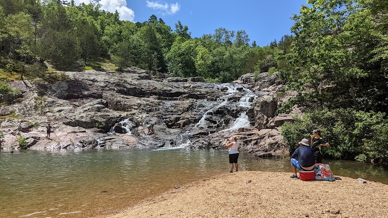
Ozarks National Scenic Riverways, located in the rugged Ozark Highlands of southern Missouri, covers over 80,000 acres encompassing the clear, spring-fed waters of the Current and Jacks Fork rivers. Established in 1964, it was the first National Park area to protect a river system. Its landscapes are characterized by dense hardwood forests, dramatic bluffs, and numerous caves and springs that contribute to its rich biodiversity. The park equally offers cultural history, with remnants of old mills, historical settlements, and traditional cultural sites dotting the park's expanse. Visitors can engage in hiking, camping, kayaking, and horseback riding while savoring the natural beauty. Outdoor enthusiasts can explore over 300 recorded caves, highlighting the geological wonders of the Ozarks. In addition to these natural wonders, the park is a haven for a variety of wildlife, including deer, otters, and an array of bird species. The area's popularity stems from its reputation as a prime destination for paddling with easy river access points and scenic float trips.
Highlights
Alley Spring and Mill, an iconic historical site with a picturesque blue spring and historic mill.
The cave system, featuring over 300 caves and showcasing the area's remarkable geology.
Akers Ferry, offering a historical crossing with a functioning ferry over the Current River.
Round Spring, a beautiful spring area with a vibrant blue pool and accessible hiking trails.
Notable Natural Features
Current River
A clear, spring-fed river ideal for paddling and snorkeling.
Jacks Fork River
Known for its scenic bluffs and great canoeing opportunities.
Big Spring
One of the largest springs in the United States, noted for its water volume.